Rep. Schrier’s Bipartisan Bill to Digitize Federal Land Mapping Records & Improve Access Passes House with Near Unanimous Support
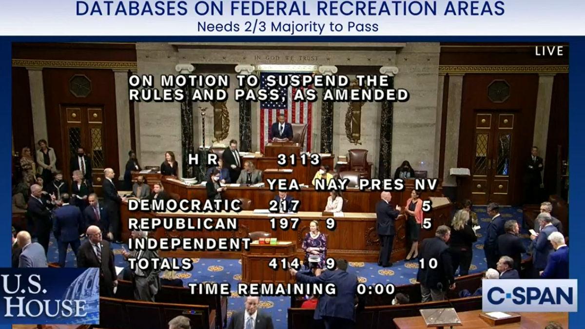
WASHINGTON, DC – Today the U.S. House passed a bill introduced last year by U.S. Representatives Kim Schrier, M.D. (D-WA), Blake Moore (R-UT), Joe Neguse (D-CO), and Russ Fulcher (R-ID) called the Modernizing Access to our Public Land (MAPLand) Act. This legislation will direct federal land management agencies to digitize and standardize mapping records. This will allow hunters, anglers, and millions of other federal land users to access essential information about public lands as well as help federal land management agencies identify public lands with limited or nonexistent public access points and take proactive steps to open them to the public.
“I’m thrilled that the House passed this bill with overwhelming support from both parties to make sure we can protect our beloved public lands. My family treasures the time we spend hiking, biking, and fishing across our region,” said Rep. Schrier. “We are fortunate to live in a state full of natural beauty, with some of the best parks and recreation areas our country has to offer. Modernizing and standardizing information so people know how to access our public lands will allow Washingtonians and visitors from across the country and world to enjoy our great outdoors. This bill will also support local businesses that rely on the outdoor recreational economy.”
“America is home to some of the most beautiful natural wonders in the world, and it is essential that we have up-to-date information on how to best access our public lands,” said Congressman Blake Moore. “The MAPLand Act will digitize tens of thousands of records so fishers, hikers, hunters, bikers, and those who spend time enjoying our outdoors have all the information they need to have great experiences and make fond memories. I thank Representatives Fulcher, Neguse, and Schrier for co-leading this effort, and I look forward to seeing this legislation soon pass the Senate.”
Currently, more than 9.52 million acres of land in the West lack permanent and legal access points for public use, and information on these lands is still kept on paper files. Approximately 5,000 of the Forest Service’s 37,000 recorded easements have been digitized and uploaded to an electronic database. The MAPLand Act would help give federal land management agencies the resources they need to digitize these files for public use, as well as require these agencies to provide information on seasonal vehicle restrictions on public roads and trails, hunting boundaries, and watercraft restrictions.